Topographical Survey
Creating topographical drawings tailored to suit your requirements exactly
What is a Topographical Survey?
A topographical survey, or land survey as it can be known, is a measured survey of an agreed area of land, it is often used to support projects such as planning, design, construction redevelopment or simply to support maintenance projects or identify the measurements of areas such paving to be used in tender documents.
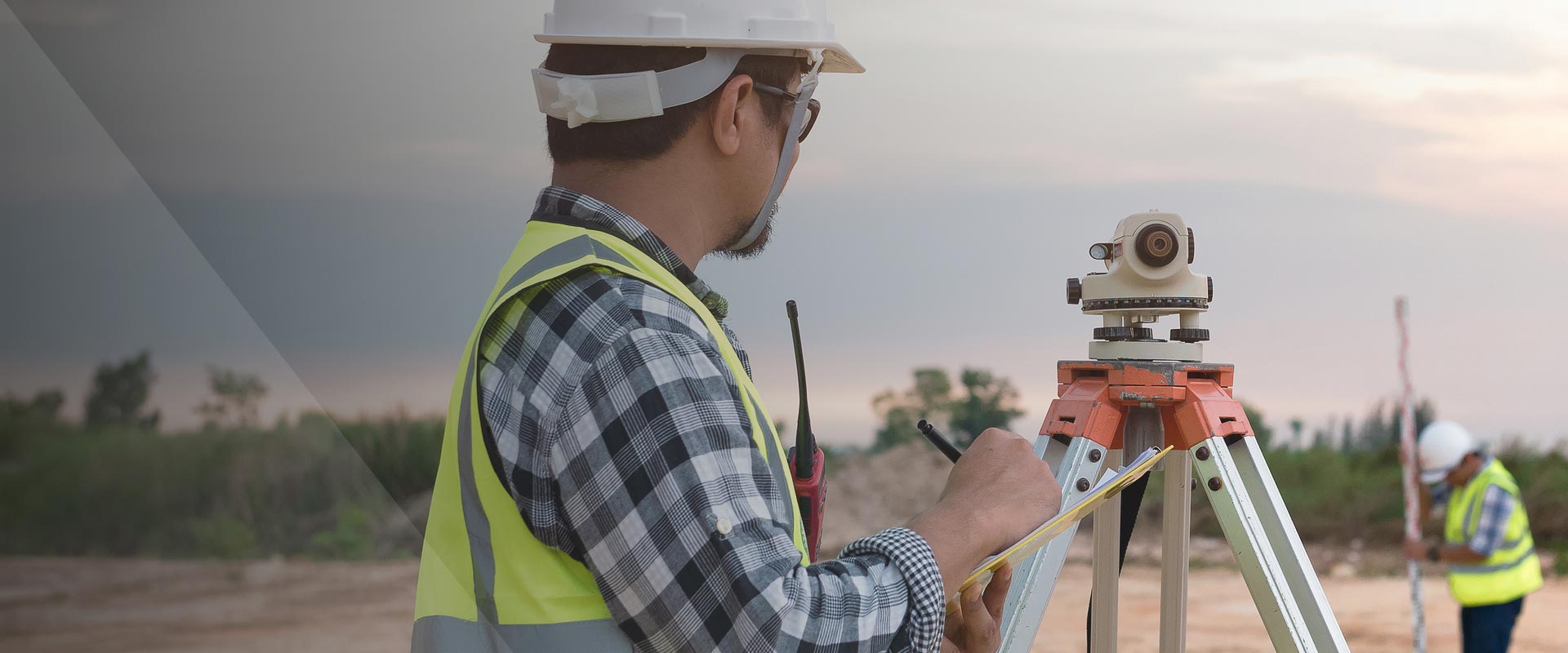
The survey is undertaken by trained land surveyors using highly specialised survey equipment including Total Stations, Point Cloud scanners and drones as well as requiring a unique set of skills. The survey will capture the position and height of both artificial (roads, paths, fences, structures, etc.) and natural topographic features (grassed areas, trees, hedges, etc) on the site in line with the agreed scope of works.
A thorough topographic survey helps you visualise the land on your estate and is vital in highlighting differences between the true levels and gradients of the land at the project site and those presupposed in preliminary designs. It accurately details contours, spot levels and feature lines, defining the ground and boundaries so that you can design or manage with confidence.
Why choose Sircle?
For the last 29 years, we have worked with our clients to produce detailed Topographical Drawings in line with their specifications and proposals or tailored to suit their requirements exactly.
Depending on your project’s size and purpose, we will use the latest technology to conduct the surveys (Point Cloud, Total station, drone, etc.). The finished survey drawings are then provided in a gated format that could include .DWG,. DX, PDF, IGES, DGN and GENIO, or simply supplied plotted as hard copy drawings.
Whatever the project you are considering, a thorough and accurate topographical survey significantly reduces the risk of costly mistakes caused by unforeseen issues.
Topographical survey should not be confused with a Utilities Survey, or Ground Penetrating Radar survey as they are also known as, which identify the services runs below ground, the results of which can be added to the Topographical drawing upon completion.
Should you require a topographical survey to support a BIM project or creation of a Revit model, we can even provide you with a 3D surface model solution in Revit format.
When used in conjunction with our sub-surface surveys, historic services records search or drainage CCTV surveys, we can provide an accurate picture of the land and the services within them in either 2D Cad or 3D Revit, allowing for detailed designs to be created.
With UK-wide coverage using our in-house experienced surveyors and equipment solely, our customers can be sure of consistency and quality of deliverables.
Your questions answered
What information does your Topographical survey produce?
Our Topographical surveys offer accurate levels and feature lines, 3D ground models, 2D layouts, overhead and underground service information, geo-referenced data, height shaded graphics, multiple output formats and dimensional confidence.
Related Services
 View Service
 View Service
 View Service
 View Service
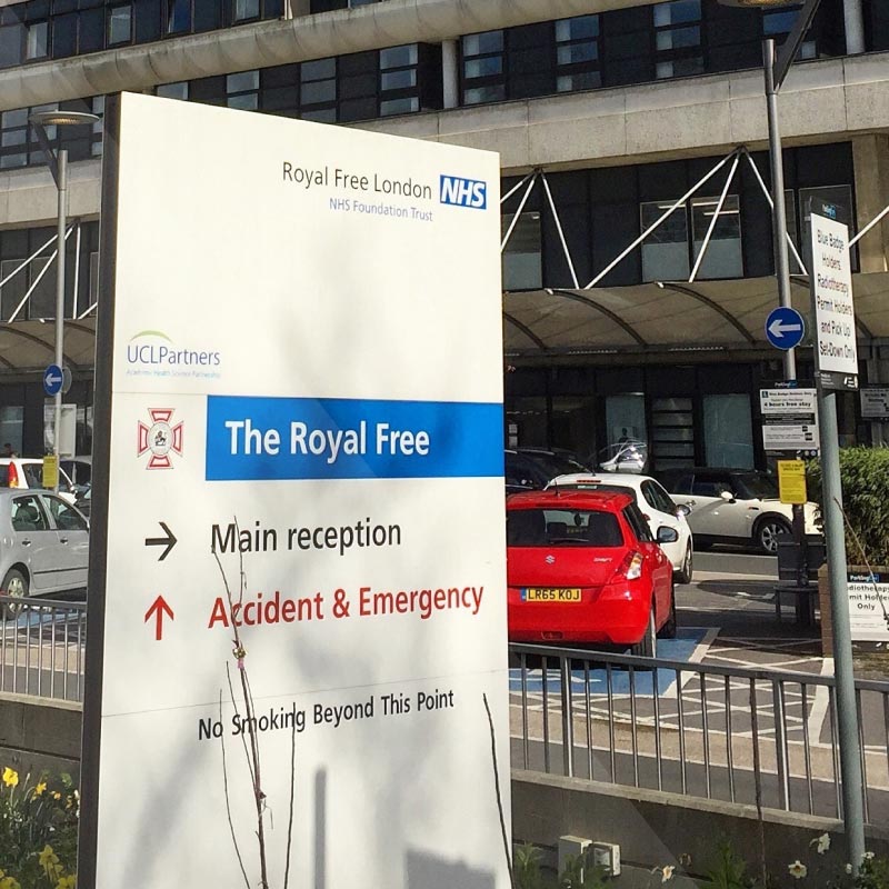
Royal Free Hospital
The world-renowned Royal Free London, one of the UK’s biggest NHS trusts, is home to 10,000 staff who provide care for over 1.6 million patients a year. With a demand for more space and no room for expansion, the Trust’s estates management team needed to better understand what they had and how it was being used In order to improve space efficiency.
Royal Free Hospital“The topographical and measured building surveys Sircle completed were done in line with requirements and to a very high standard and the drawings were provided well within the project timescales. The surveyors that came to our site were very courteous to our staff and residents and we would not hesitate to recommend them to anyone looking for surveys of their properties.”