Land Surveys
Visualising land you intend to develop
Land Surveys
Whatever the project that you are considering, a thorough and accurate land survey will reduce the risk of costly downstream mistakes caused by unforeseen issues.
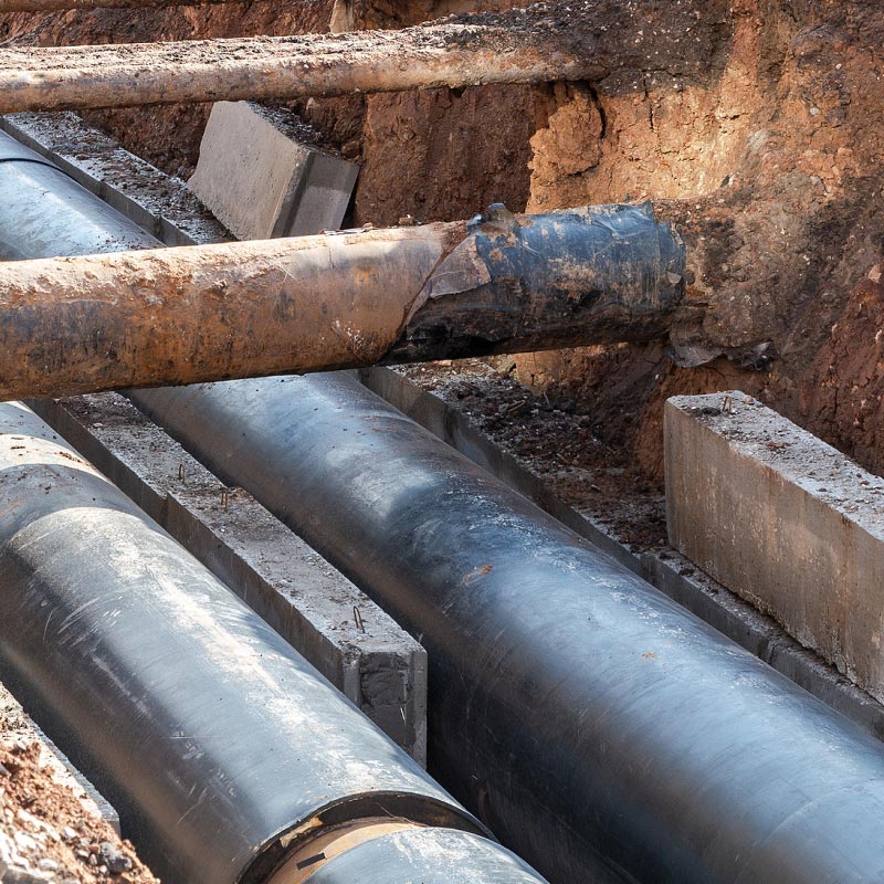
Our topographical, sub-surface and utility/ drainage CCTV surveys can provide a true picture of your land and the services within it, either in 2D Cad or 3D Revit. This allows for detailed and accurate designs to be created.
“Sircle have been providing the University with survey and CAD services for several years following on from an initial survey of the academic spaces. Over the years they have been reappointed to conduct surveys of the student residential accommodation and several other areas. I would recommend Sircle to any university wanting a surveying or CAD service.”


