Point Cloud Survey and Scan2BIM
What is a Point Cloud Survey and Scan2BIM?
Point cloud surveys use 3D laser scanning technology to capture highly accurate spatial data of buildings, sites, or structures. The result is a dense collection of data points that create a precise digital representation of the environment.
The method used is invaluable for the majority of measured building surveys, particularly for detailed design, construction planning, and heritage documentation.

Why choose Sircle?
Sircle brings over three decades of specialist expertise, delivering accurate, high-quality point cloud and BIM outputs across a wide range of property types. Using cutting-edge laser scanning technology, we ensure millimetre precision and detail.
Our seamless Scan2BIM service transforms point cloud data into tailored 2D drawings and 3D models that fit your workflow—whether it’s Revit models, floor plans, or verification surveys.
With reliable data from the start, you reduce site visits and avoid costly rework. That’s why architects, engineers, and contractors across the industry trust Sircle for dependable, efficient results.
The Benefits of Point Cloud Survey and Scan2BIM
- Highly Accurate Measurements for Precise Drawings and Models
Capture precise dimensions to produce reliable 2D drawings and 3D models—essential for design, refurbishment, and compliance. - Enhanced Facilities Management and Stakeholder Collaboration
Share scan data easily with FM teams and contractors, cutting down site visits and speeding up maintenance decisions. - Multiple Data Sets Captured in a Single Survey
One visit gathers everything you need—measurements, visuals, and geometry—saving time and reducing disruption. - Smart Asset Tagging
Tag equipment and spaces with key info like condition, serial numbers, and service dates—making tracking simple. - 360° Visual Walkthroughs for Remote Review
View and explore the building remotely, take extra measurements, and gather detail without stepping back on site. - Supports Remote Fault-Finding
Use scans during video calls to assess issues before sending FM teams—saving time and preventing unnecessary visits.
Sircle at Work
Examples of Sircle at work with Point Cloud Scanners and Scan2BIM.
Scan2BIM
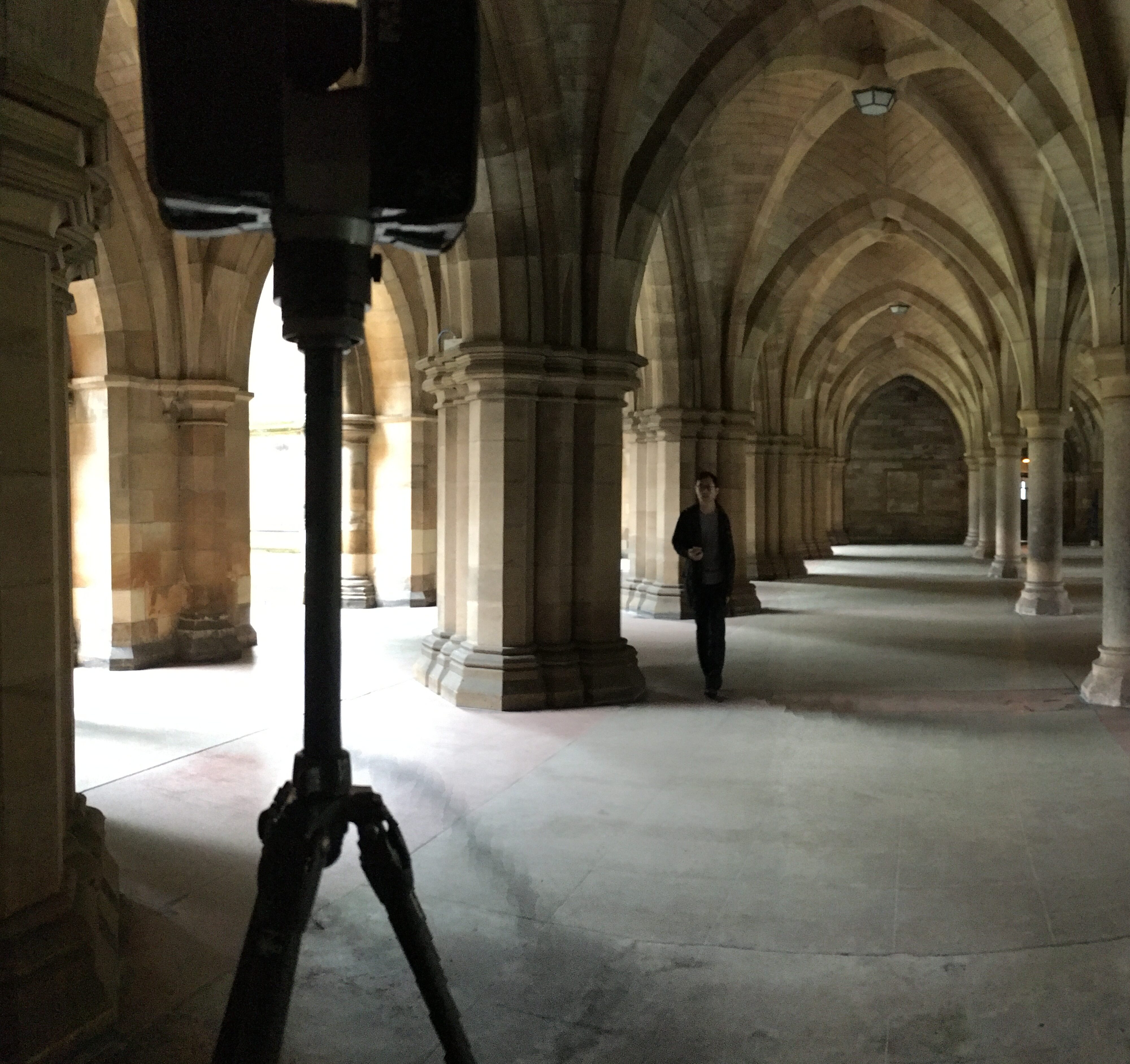
Scan2BIM survey at University of Glasgow.

Scan2BIM
Scan2BIM at University of Glasgow.
Scan2BIM
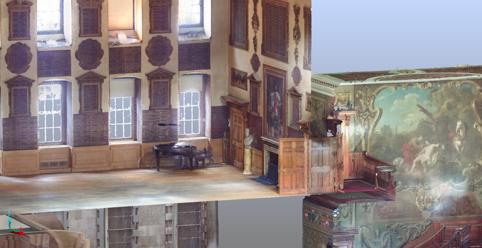
Scan2BIM at Barts Heritage.

Scan2BIM
Scan2BIM Boiler House.
Related Case Studies