PAS128 Utility Survey and Drainage CCTV Survey
What is a PAS128 Utility Survey and Drainage CCTV Survey?
Before any excavation or design work begins, understanding what lies beneath the surface is critical.
A Utility Survey is a detailed investigation used to locate and map underground services such as water, gas, electricity, telecommunications, and drainage systems. It is essential before any construction or excavation work begins.
Our surveys are carried out to PAS 128 standards, the UK specification for underground utility detection, ensuring a consistent, reliable, and auditable approach.
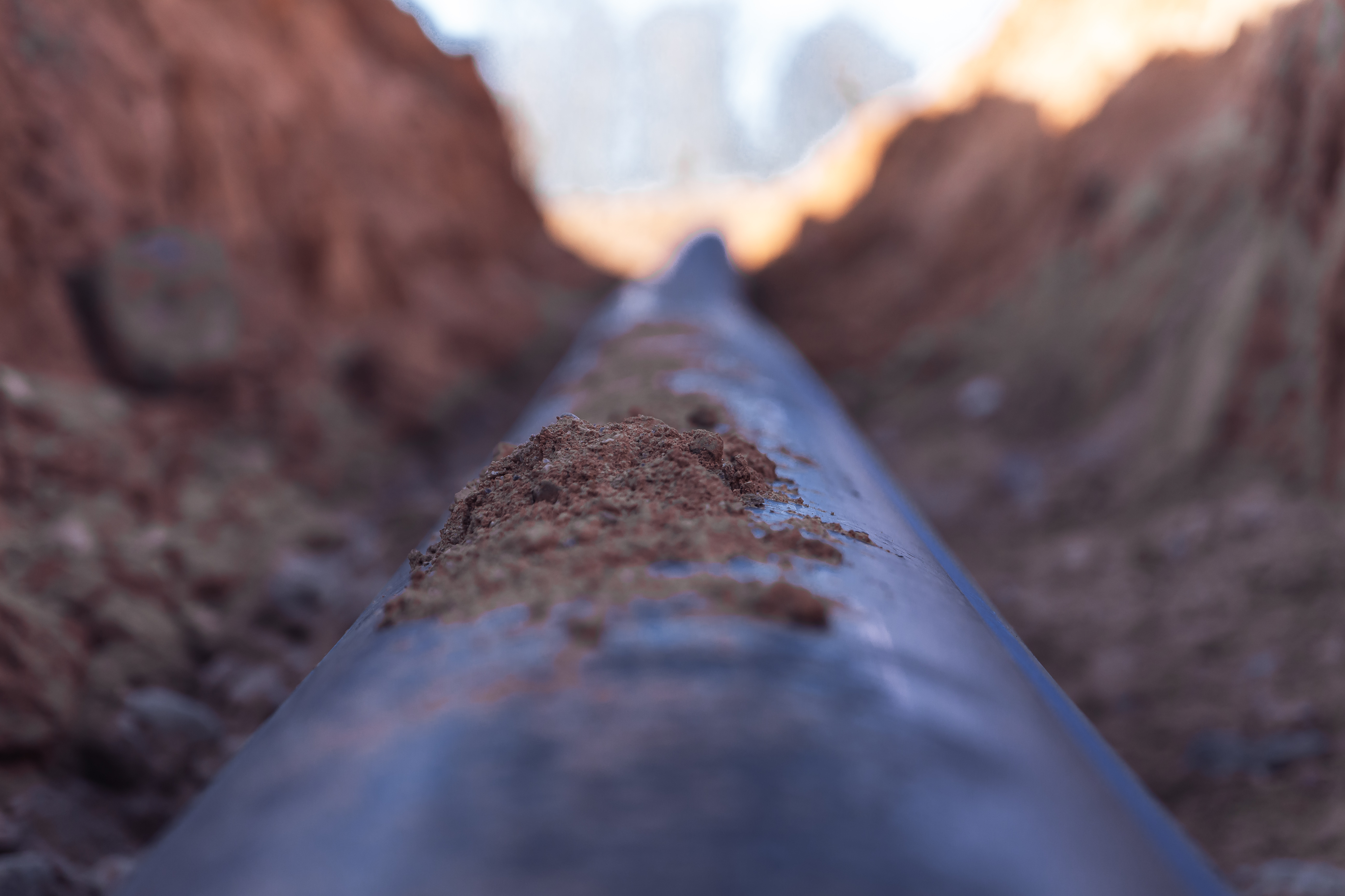
A Drainage CCTV Survey uses specialist camera equipment to inspect the internal condition of underground drainage systems. This non-invasive method allows us to detect blockages, cracks, deformation, root intrusion, and structural defects without the need for excavation.
Why choose Sircle?
Using advanced geophysical methods such as Ground Penetrating Radar (GPR) and Electromagnetic Location (EML), Sircle provide high-quality, CAD drawings that meet the requirements of design, engineering, and health & safety standards.
Our Drainage CCTV survey reports follow the relevant UK specifications, giving engineers, contractors, and developers reliable data to support construction planning, asset management, or remediation work.
Minimise risk. Ensure compliance. Build with confidence.
The Benefits of a Utility and Drainage Survey
- Prevent Costly Delays
Accurate underground utility data helps avoid unexpected discoveries during excavation, keeping projects on schedule and within budget. - Improve Site Safety
Reliable data on buried utilities supports safer excavation and construction practices, reducing the likelihood of accidents or hazardous incidents. - Reduce Utility Strikes
By detecting and mapping underground services, the risk of striking water, gas, or electric lines is significantly minimised—protecting both workers and infrastructure. - Detect Hidden Drainage Issues
CCTV Drainage Surveys reveal blockages, cracks, or structural damage before they escalate into expensive problems, enabling early intervention. - Support Targeted Maintenance
Detailed internal views of drainage systems help teams plan efficient, proactive maintenance instead of relying on reactive fixes. - Improve Construction Accuracy
Whether building new infrastructure or renovating, knowing the exact location and condition of underground assets ensures greater accuracy in design and implementation.
Sircle at Work
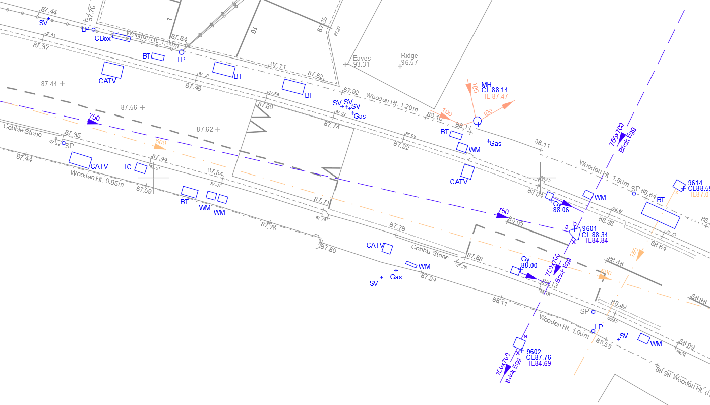
Examples of utility and drainage drawings created by our surveyors.
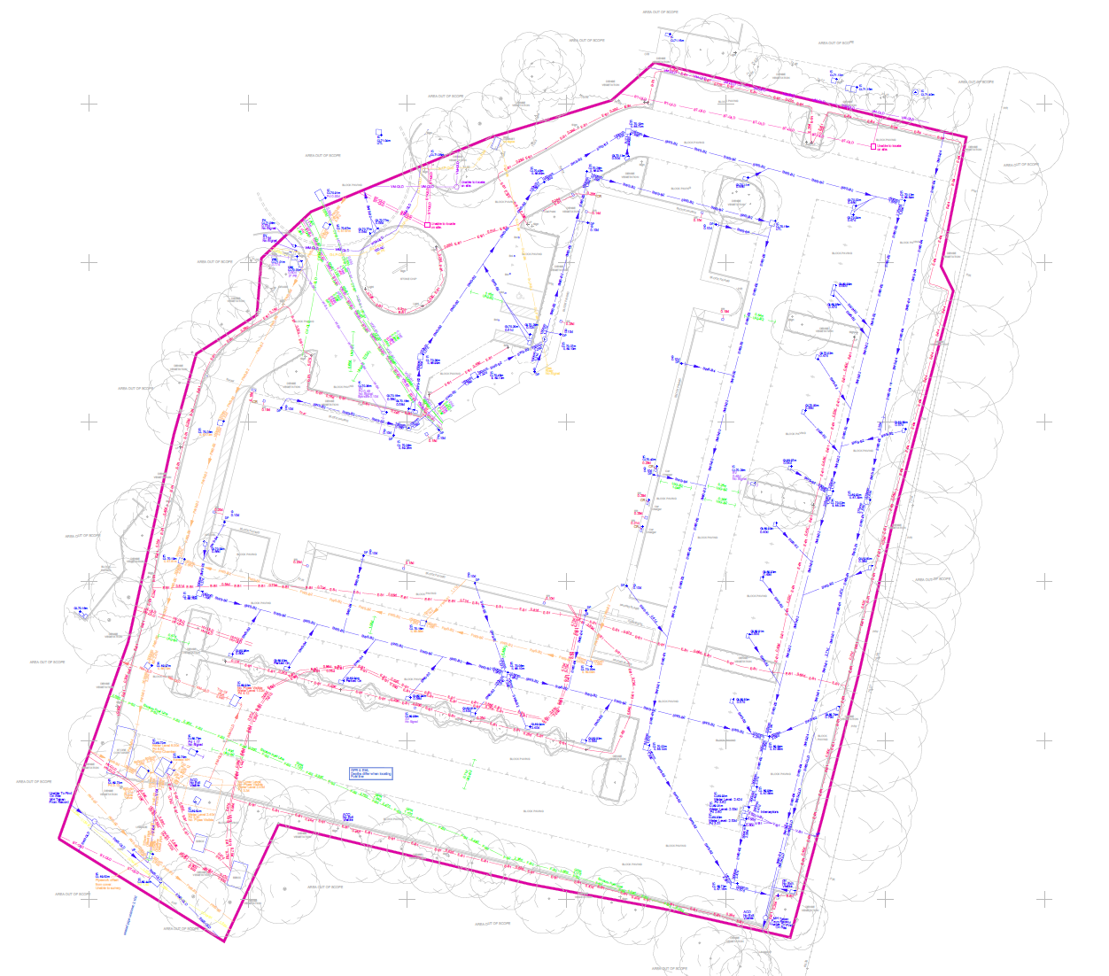
PAS 128 Utility Survey Drawing
Utility drawing for an office car park.

PAS 128 Utility Survey Drawing
Utility drawing of a busy London location.
Drainage Survey Drawing
Drainage survey drawing of a busy London location.
Your questions answered
What do the PAS 128 survey quality levels mean (e.g., QL-D to QL-A)?
-
QL-D: Based on existing records only
-
QL-C: Visual inspection of physical evidence on site
-
QL-B: Detection using geophysical methods (e.g., GPR)
-
QL-A: Verification through direct exposure (e.g., excavation)